The river close to it (Barlings Eau) isn’t a “main” river. The larger one to the south west (Witham) is. The green island area between the two (to the south) is intentionally flooded when water levels get high. The whole area is pretty prone to flooding, so the fact they’re saying the scheme only pays out if you’re close to a main river is odd.
Central government (Environment Agency) looks after the main rivers, most of the others in low lying areas are maintained by local authorities (Internal Drainage Boards), who don’t get a huge amount of funding (and often have to deal with issues caused by the Environment Agency)
yes well my joke, which could probably be a legal argument, is that when the river is flooded like so… the said farms are indeed very close to it as they’re under it…


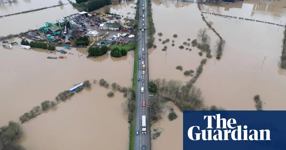
The second image in the article (Short Ferry) is, as you might guess from the name, pretty close to a river.
https://maps.app.goo.gl/iAWJmgKkApxCY7Q36
The river close to it (Barlings Eau) isn’t a “main” river. The larger one to the south west (Witham) is. The green island area between the two (to the south) is intentionally flooded when water levels get high. The whole area is pretty prone to flooding, so the fact they’re saying the scheme only pays out if you’re close to a main river is odd.
Central government (Environment Agency) looks after the main rivers, most of the others in low lying areas are maintained by local authorities (Internal Drainage Boards), who don’t get a huge amount of funding (and often have to deal with issues caused by the Environment Agency)
yes well my joke, which could probably be a legal argument, is that when the river is flooded like so… the said farms are indeed very close to it as they’re under it…